Megunticook 50K
Saturday, Sep 9, 2023. 7:00am.
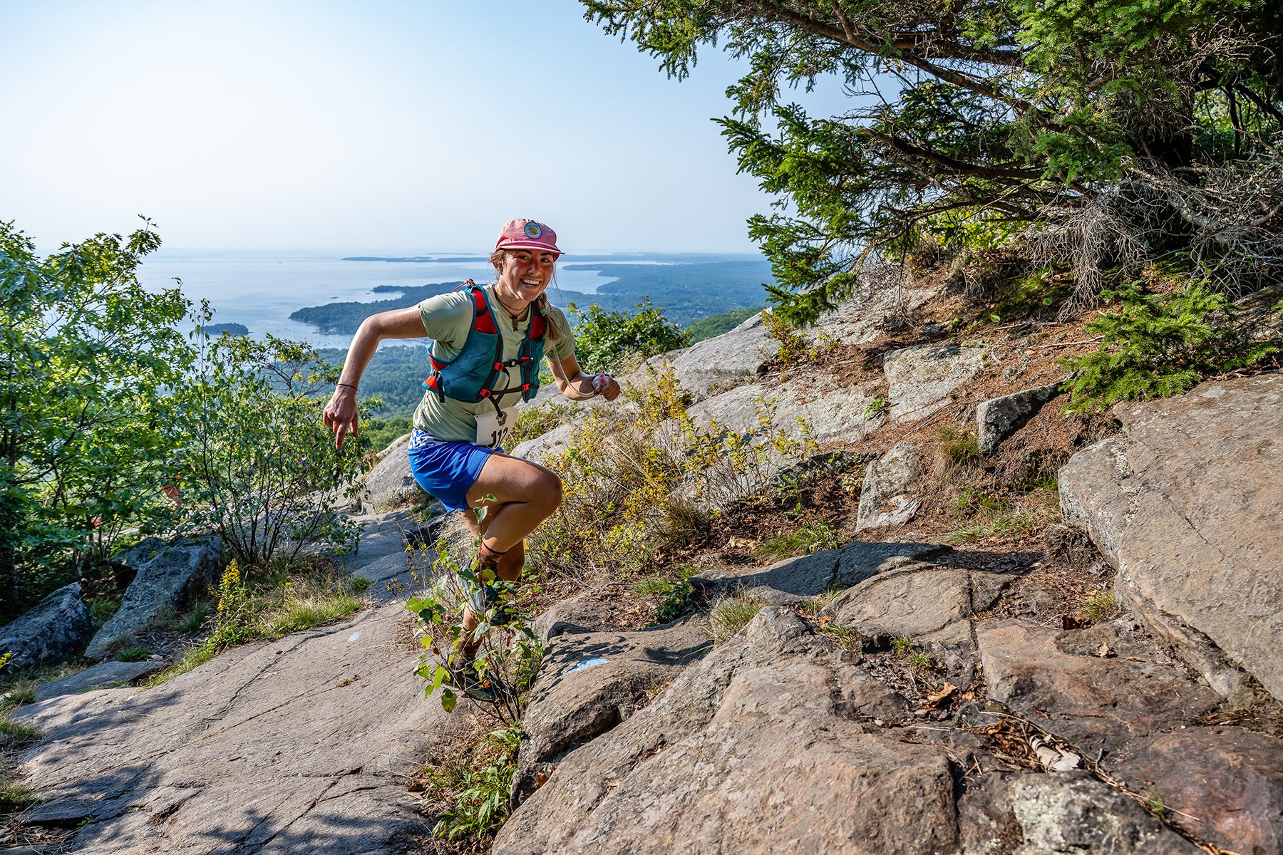
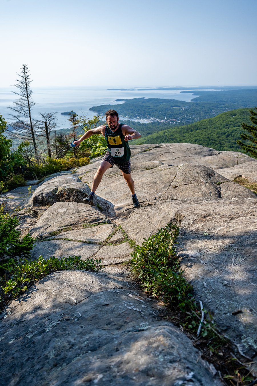
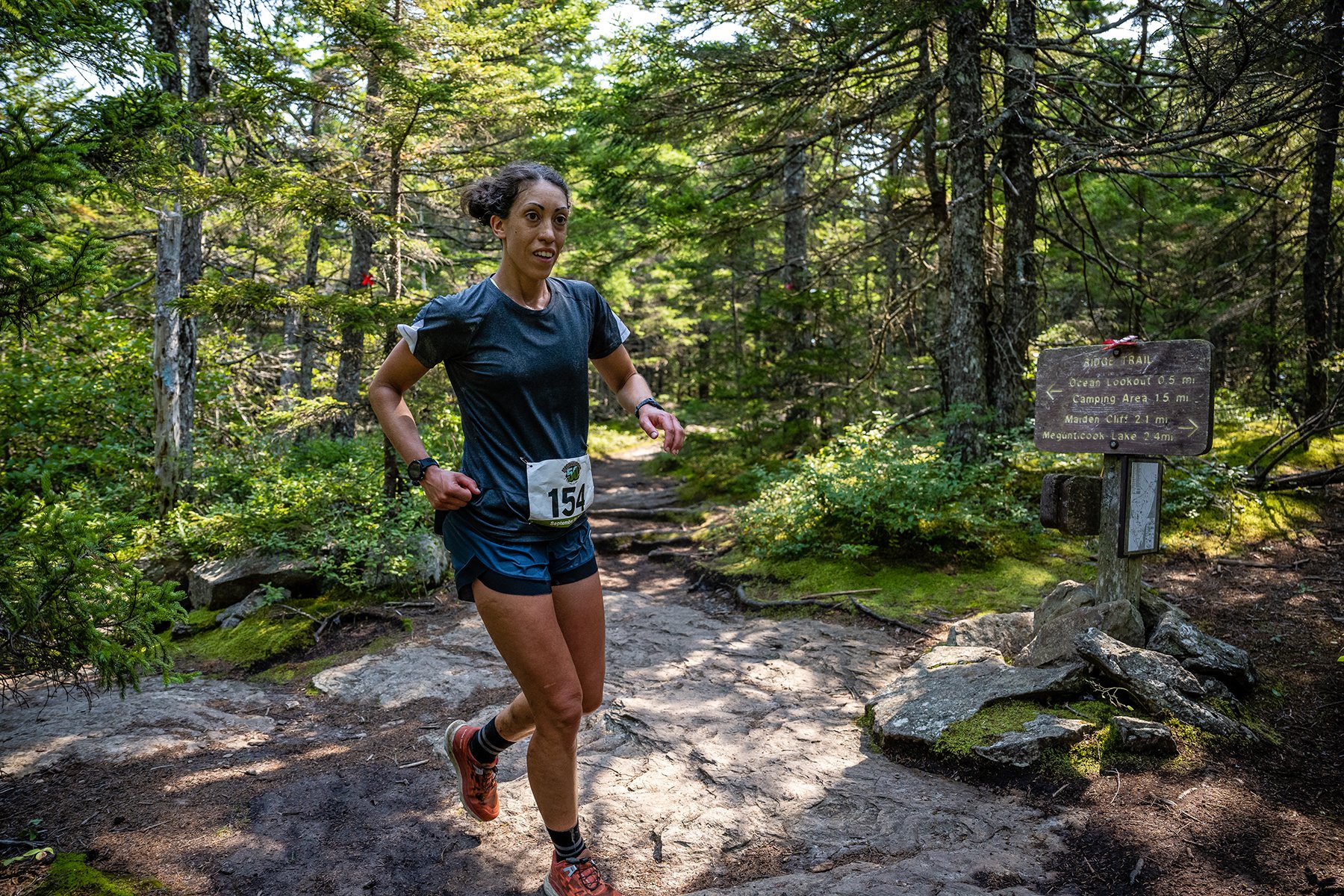
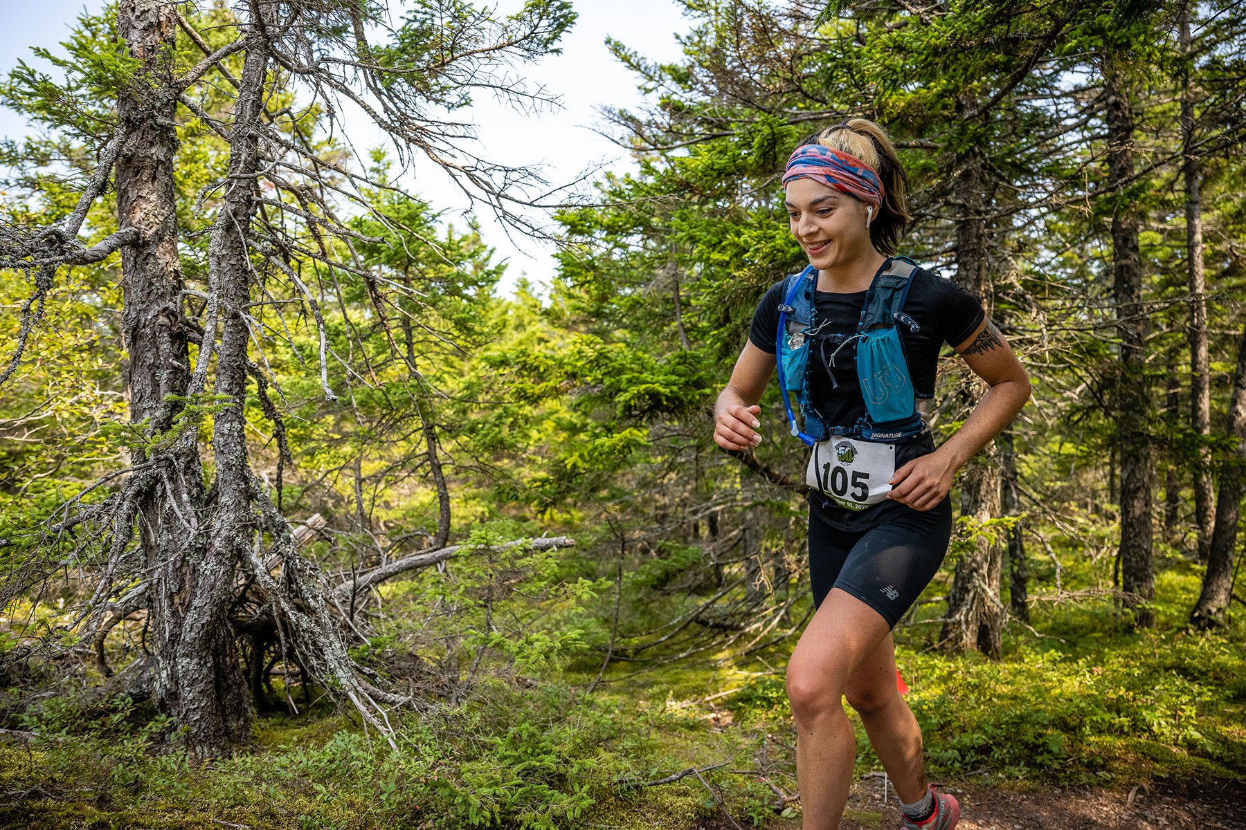
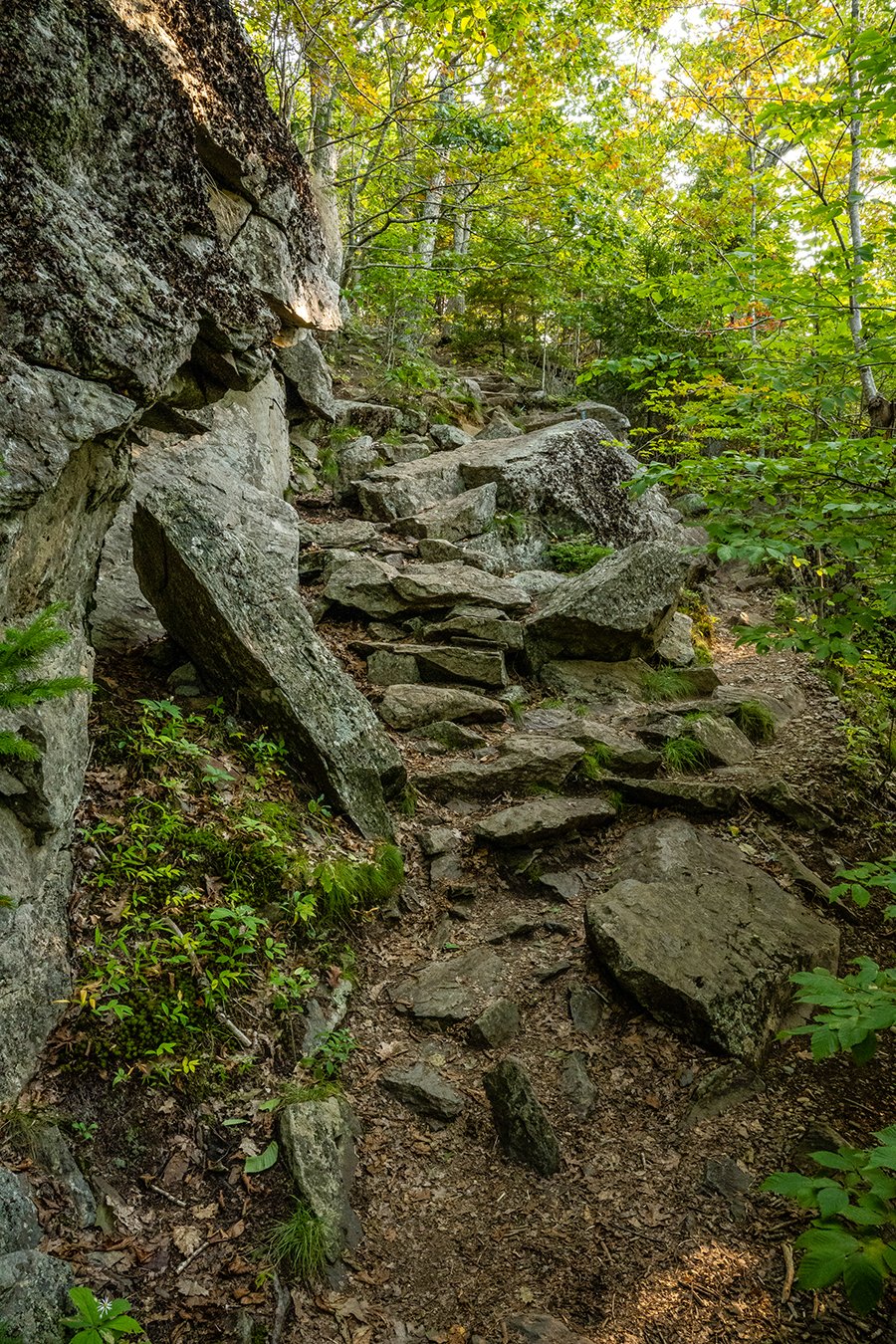
Brutal. Beautiful. Two words that only begin to describe this event in the remote Midcoast area of Maine. It traverses over 90% of the trails of Camden Hills State Park with a minimum of overlap. The views along the course are stunning and even the speedy “contenders” will be tempted to stop and take them in. It’s not a race for the faint of heart. There are over 7600’ of elevation gain and the trails are steep with lots of rocks and roots. If you’re not going up or down, you’re probably off course. The cutoff time may seem generous at 11 hours, but this course will beat you up physically and mentally. And while it doesn’t have the 3000’ climbs of some of the races in the West, it has more overall vertical than most of those and would stand shoulder-to-shoulder with any of them for the level of difficulty. It’s not a circuit run multiple times and there are only 3 out-and-backs of 1.7 miles, .15 mile and .5 mile. There are 6 aid stations, one of which you hit twice for a total of 6. You’ll top all 6 of the significant peaks in the park (Battie, Bald Rock, Derry, Frohock, Cameron and Megunticook), experience numerous lookouts and cross an abundance of brooks and streams along the way.
Event Schedule
Race Entry Deadline is August 20th
3 - 7:30pm — September 8th. Packet pick-up at Camden Hills State Park, Main Entrance.
5:30-6:30am — On site packet pick up at Camden Hills State Park, Main Entrance.
6:30am — 50k runners expected to be parked and ready to run. Camden Hills State Park, Main Entrance.
7am —Race Start at gatehouse, Main Entrance.
4:30pm — 50K cutoff at Maiden Cliff trailhead.
6pm — 50K concludes at gatehouse, Main Entrance.
Aid Stations
2.5 mi to Aid #1 at Battie Summit (Water only)
4.6 mi. to Aid #2 at Carriage Trail/Tablelands intersection (Water only)
8 mi. to Aid #3 at Ski Shelter
14.7 mi. to Aid #4 at Lincolnville Entrance
20.8 mi. to Aid #5 at Ski Shelter
25.5 mi. to Aid #6 at Highway 52 (9.5-hour cutoff)
29 mi. to Aid #7 at Carriage Trail/Tablelands intersection (Water only)
Aid stations will have: water, electrolyte drink, coke, pretzels, graham crackers, jelly beans, M&M’s and snickers, bananas, watermelon and oranges. Remember to bring your own collapsible cup and ziplock or other baggie if you want to bring carbs with you.
Out-and-Backs
Carriage Trail (.6)
Frohock (3)
Cameron (.25)
Zeke’s (1)
Course Map
Race Course Narrative
Start at gatehouse and run toward the campground.
Bear right on the campground loop road as the road splits with the Multi-Use trail.
Make a full loop around the campground.
Bear left when you come out the to Main road and follow the road down toward the gatehouse.
Before gatehouse turn right onto Mount Battie Road.
Run up the hill about 1 mile and then bear left on Tablelands Trail.
Proceed up Tablelands about .4 miles and then go left at the pavement.
Follow the pavement around to the overlook and Aid #1.
Continue on the pavement and begin down Battie Road.
Take the Carriage Road Trail on the left and proceed down for about .7 mile.
Bear left at the base of the hill and run down the Carriage Trail for about .6 mile until you reach a rocky barricade just before Rt 52.
Turn around and head back up the Carriage Trail.
Run 1.1 miles until you reach water station at intersection with Tablelands Trail.
Turn left on Tablelands trail and run .65 miles until you get to Ocean Lookout.
Turn right and run about 1.2 miles down to the intersection with the Multi-Use Trail.
At this point, the 10K keeps right and runs down to the Finish while the 50K turns left on the Multi-Use Trail.
Proceed about 2 miles to Aid #3 and then continue another 2 miles to Bald Rock Trail.
Run to the summit of Bald Rock for your next view and picture.
Continue down Bald Rock Trail for about .5 mile to Frohock Trail.
Go out on the Frohock to its terminus and check-in with the course monitor there.
Return the 1.5 miles to Bald Rock Trail and then turn right down to the Multi-Use.
Turn right on the Multi-Use and run down to Aid #4.
Return up the Multi-Use for about 1.5 miles and take a right on Cameron Trail.
Go for about a mile and then take a short trip up to the top of Cameron Mountain.
Return back down to the trail, taking a right at the bottom.
Follow Cameron Trail, taking a left after .2 miles and then another left on Sky Blue Trail after .7 mile.
Continue on Sky Blue Trail until you hit the Multi-Use again and then go right.
Follow the Multi-Use for about 1.5 miles to Aid #5.
Turn right and go to the Megunticook Summit on the Slope Trail.
At the summit, turn right and follow the Ridge Trail down to Zeke’s Trail where you turn right.
Follow Zeke’s for about .5 mile and then take a left up to Zeke’s Lookout.
Turn around and go back to the Ridge Trail where you’ll turn right.
Continue on Scenic Trail to Maiden Cliff.
Turn and go down Maiden Cliff Trail to Aid #6 at Route 52.
Head back up Maiden Cliff Trail .2 miles to the intersection with Jack Williams Trail.
Turn right onto Jack Williams and follow it 2 miles to intersection with Tablelands Trail.
Turn right on Tablelands and follow it about a mile to a left on Nature Trail.
Continue on Nature Trail to its end on the Megunticook Trail where you’ll take a right.
Follow Megunticook to the Multi-Use and then down to the Finish.
Rules
Packets and race bibs for the all races may be picked up between 3 and 7:30 pm the Friday before the race or starting at 6am on race day. If you are picking up on race day please arrive at least 45 minutes before your event.
The overall cut-off for the 50K is 11 hours.
The cut-off at Mile 25 (Maiden Cliff Aid Station) is at 4:30 p.m. (9 hours, 30 minutes). Runners not OUT of that aid station by that time will receive a DNF.
If you abandon the race, you MUST leave your race bib with a race official.
There is no crew or drop bags. People wanting to cheer-on their runner are more than welcome to hike out on the course to do so but cannot pace, mule or offer aid.
No complaining to volunteers.
Be kind to other racers and considerate of hikers. Help the injured.
No littering.
Headphones are fine but keep the volume low and pay attention to your surroundings, especially around aid stations.
When on roads, run on the left side, inside the cones and facing traffic.
Trekking poles are okay but don’t stab the person behind you. Also, if using poles, you must keep them for the entire race. No ditching poles or stashing them to pick up part way through the race.
There is no cutoff for the 10K or 20k.
No shortcutting the course. Volunteers and/or timing mats will be in place to record runners who complete the out-and-backs.
Bring a refillable water bottle or collapsible cup because we will not be using disposable cups on the course.
We love dogs but this event is not for them.
Parking is limited please carpool if you can.
Each runner’s bib will act as an access pass for the Camden Hills State Park for one day. Friends and family will have to purchase their own passes.
No pacers. No stashed coolers or supplies.
The first aid station is at the summit of Mount Battie. While friends and family can drive to meet you there, we discourage that. Instead, we would suggest they walk or run up the hill to reduce congestion on the road. Plus, they can cheer for other runners as they go along.
Considerations
Carry plenty of water. This especially so if the weather is warm.
Study the course before the race. Not only will it help you know where to go but it will also help you know when the climbs are coming.
Train adequately for the 50k. If you think this is an ordinary race, you could end-up in trouble.
Aid stations 3, 4, 5 and 6 will have snacks as well as water and gatorade . Aid stations 1, 2 and 7 will have only water.
The course will be well-marked. However, people do get off-course. If you go more than 5 minutes without seeing a flag, sign or ribbon, turn around and go back until you see one.
Orange flagging will be placed on the right side of the course. If there is flagging on both sides of the trail, that indicates the course also goes the other direction at some point.
Use bug spray.
Use sunscreen.
Local Resources
UTMB Index Race
Both the Megunticook 20K and 50K are UTMB Index Races and can satisfy that portion of the UTMB registration process.
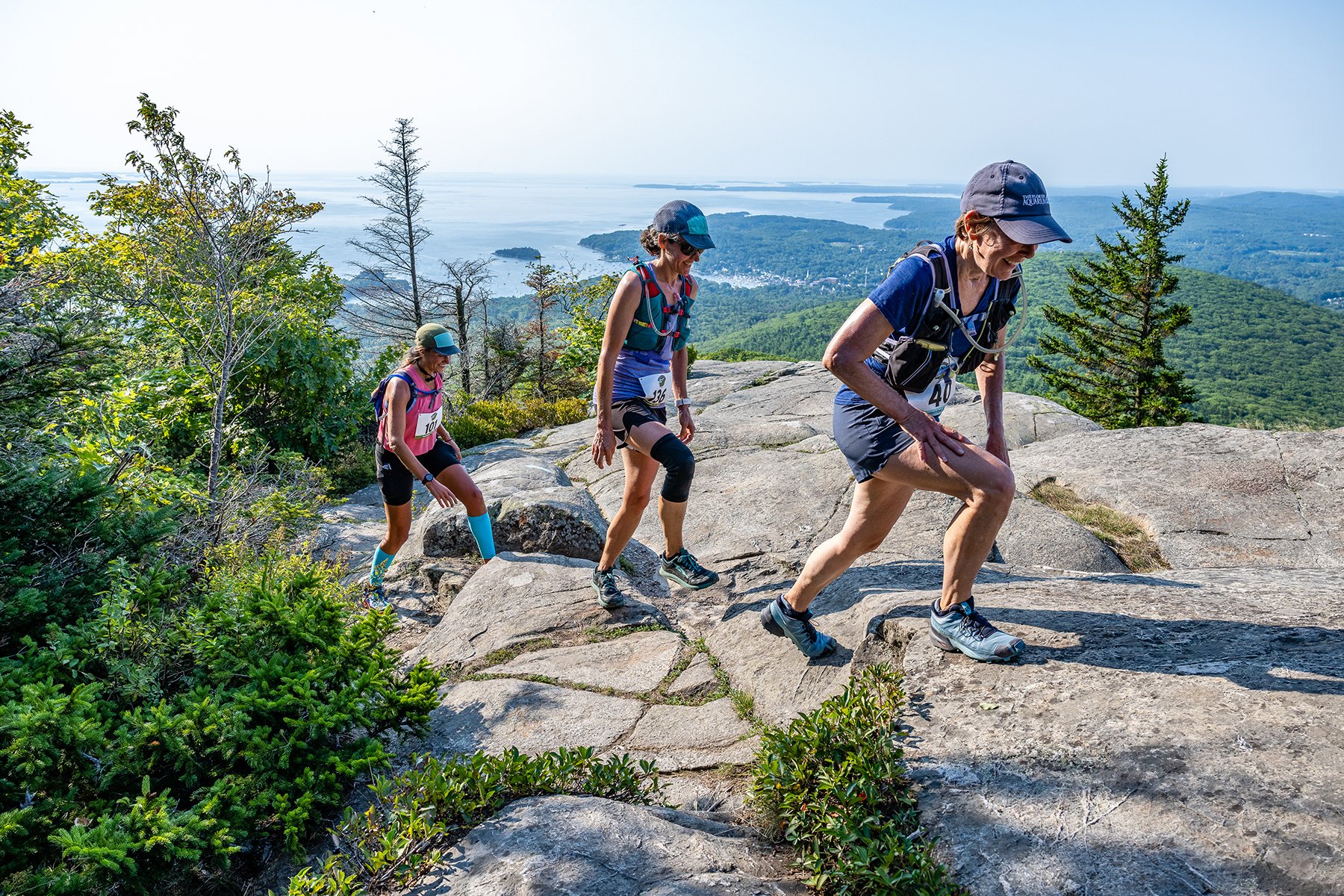
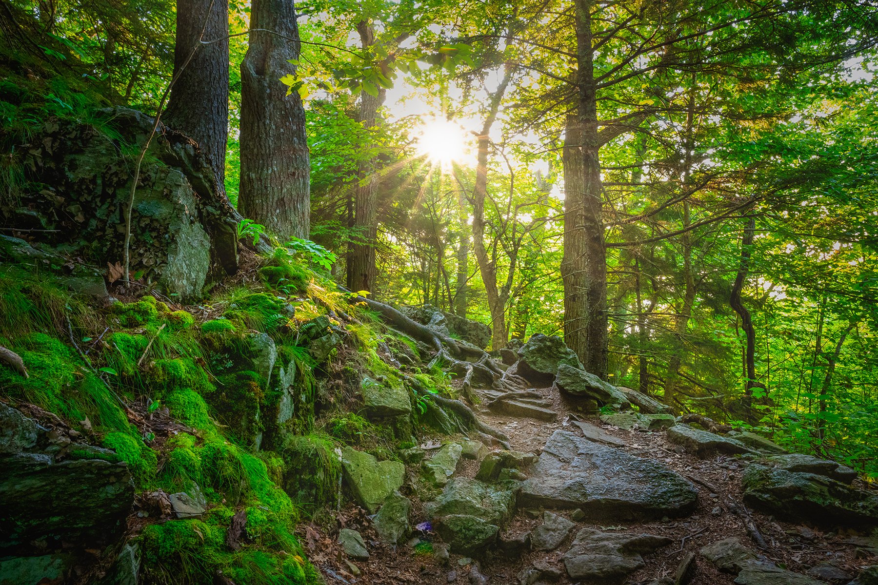
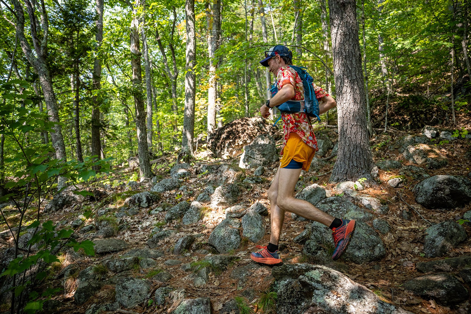
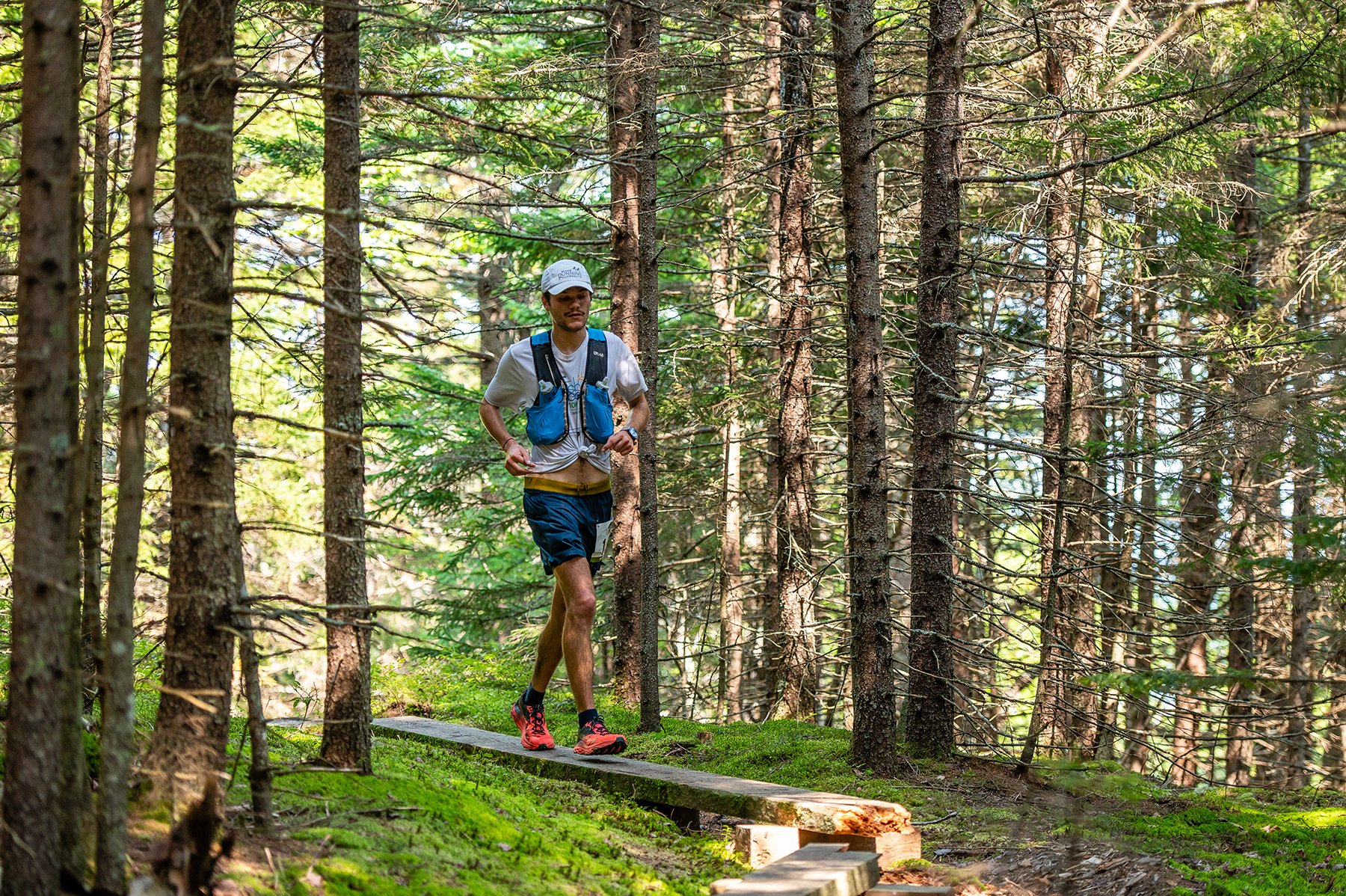
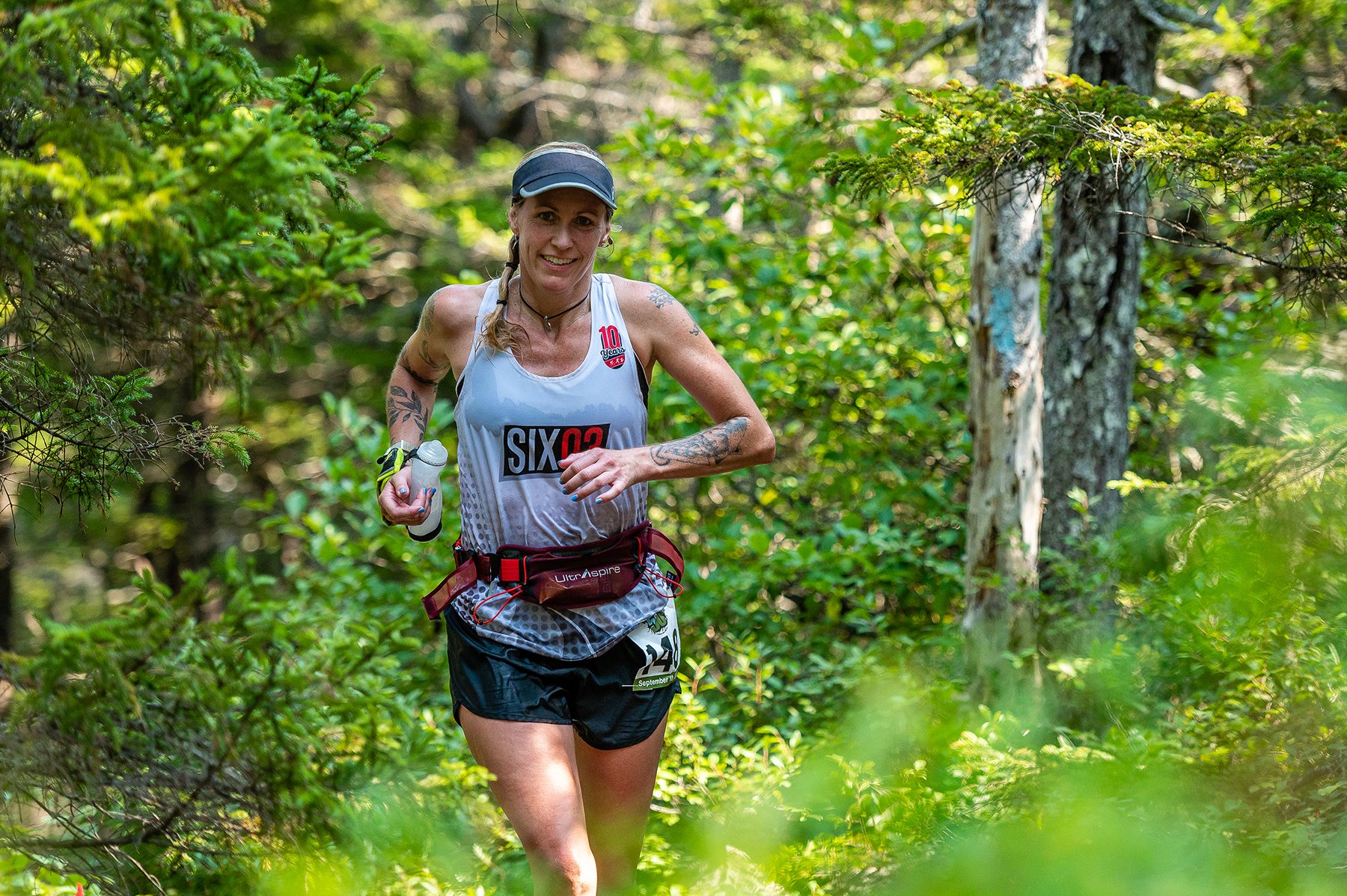
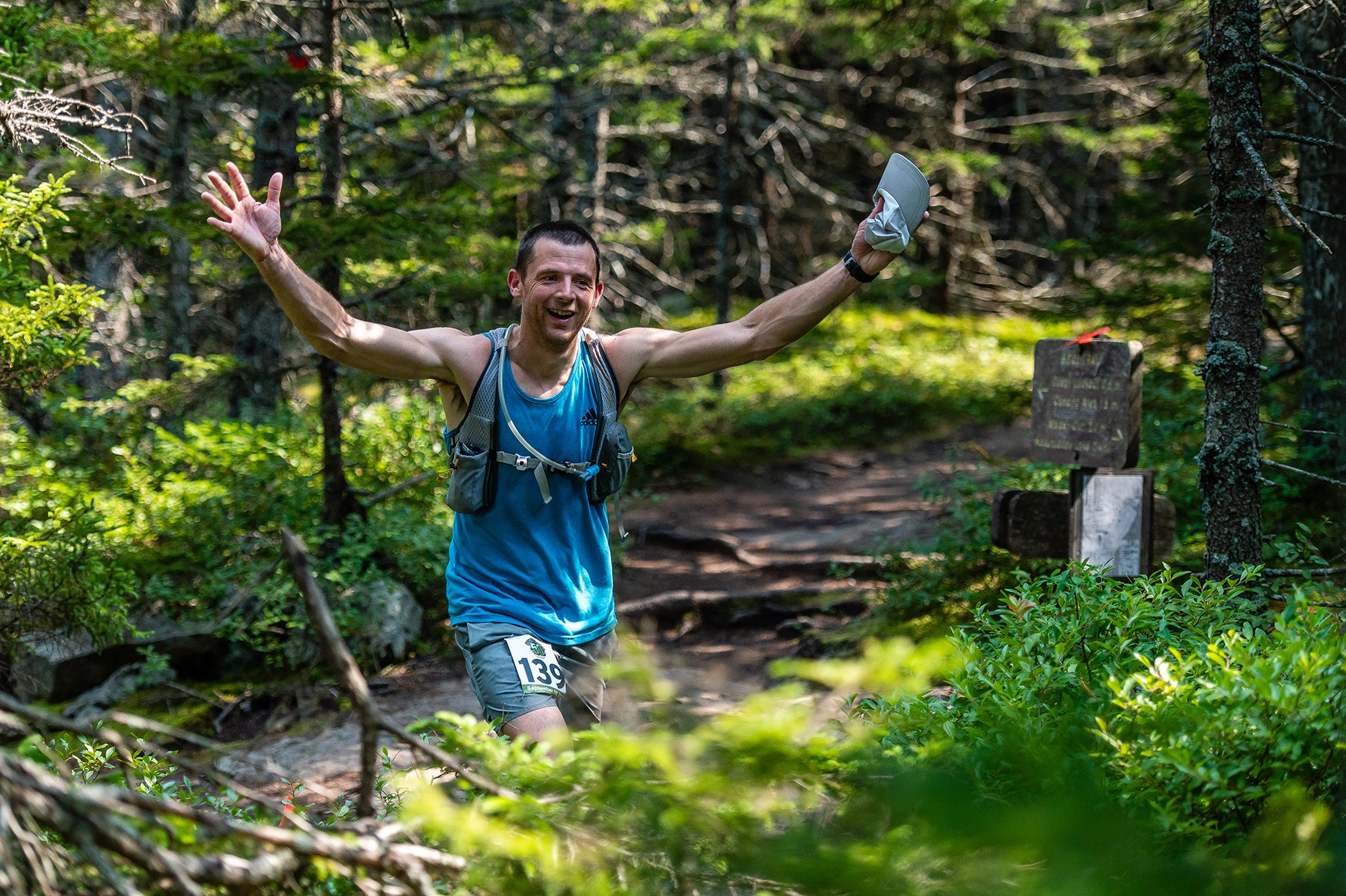
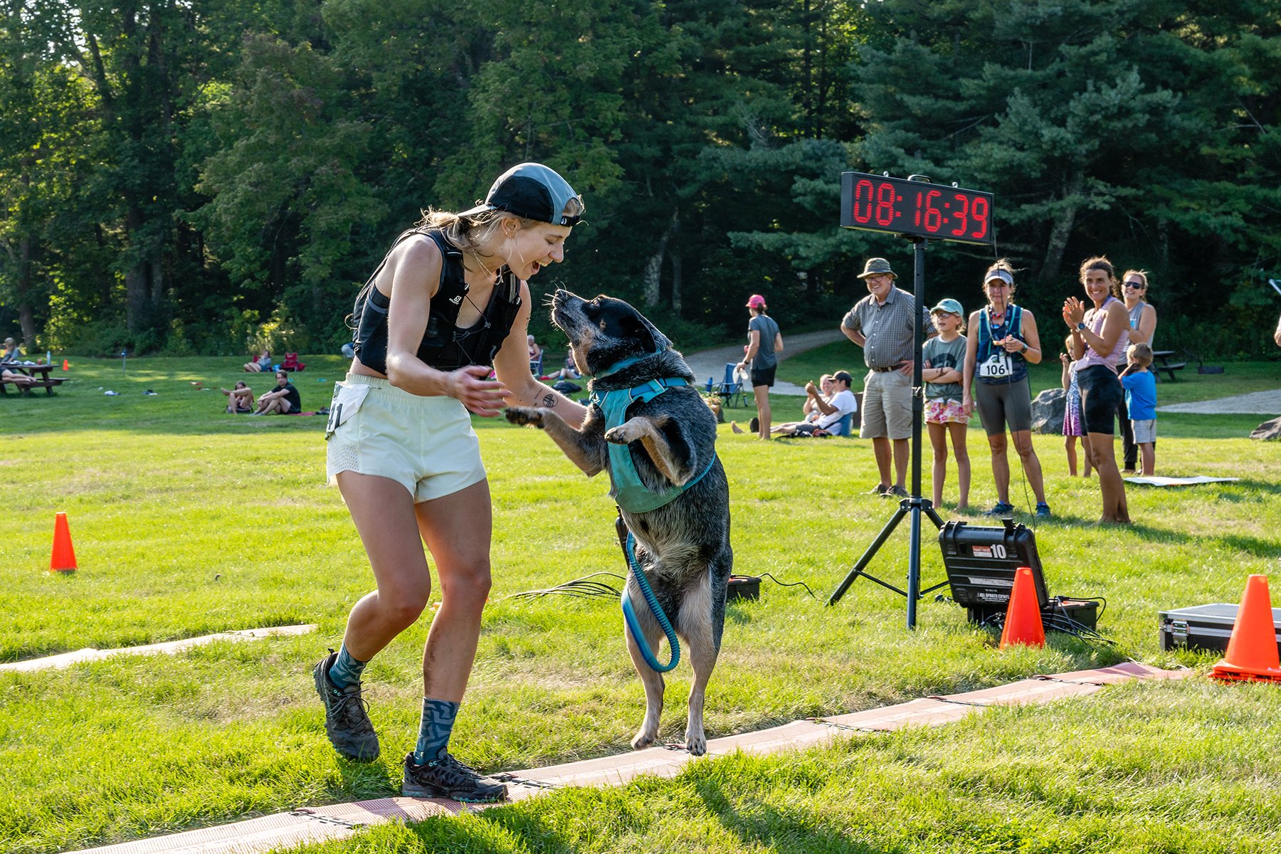
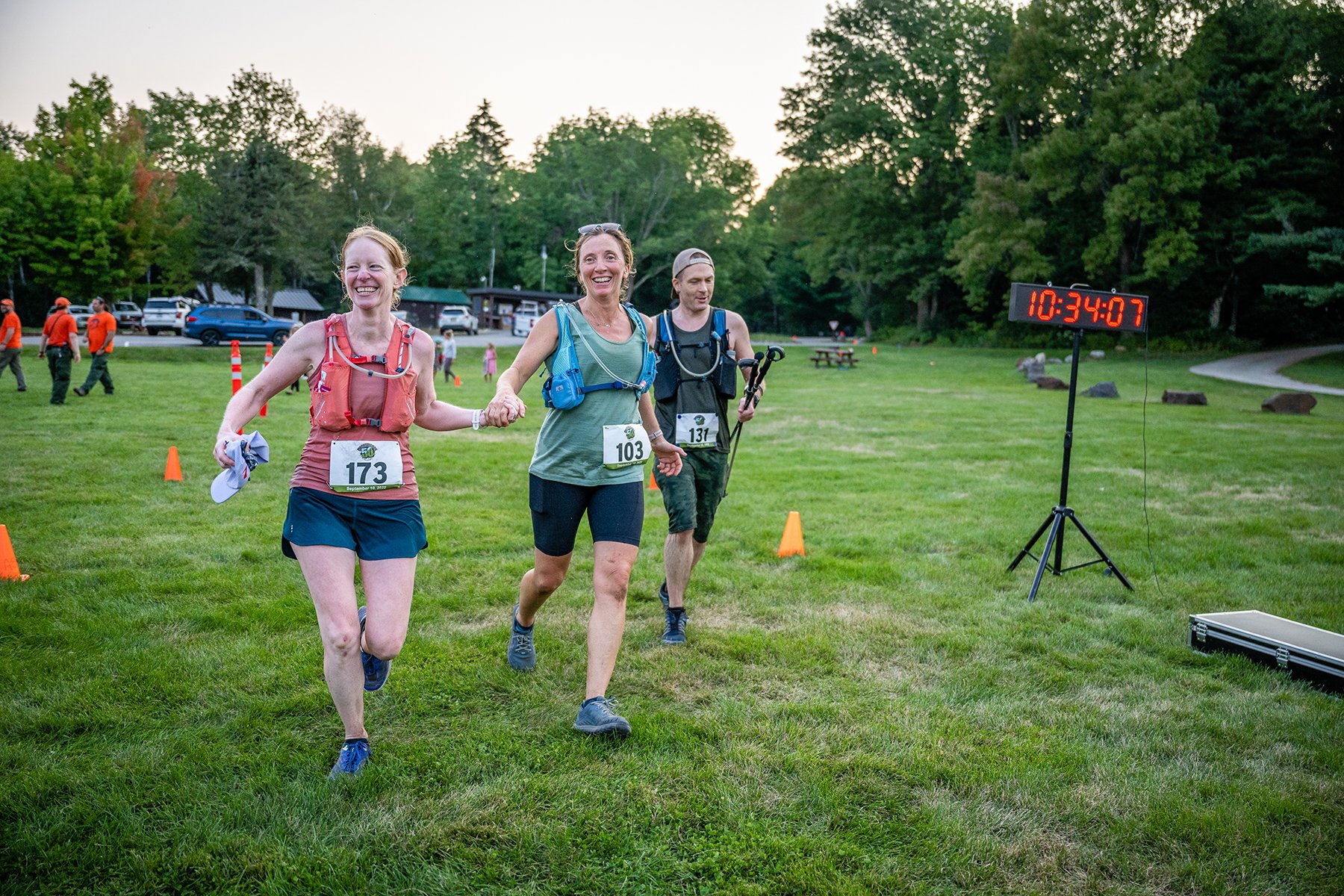
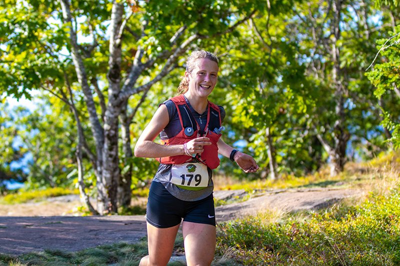
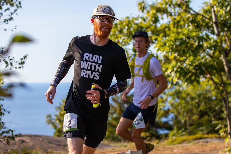
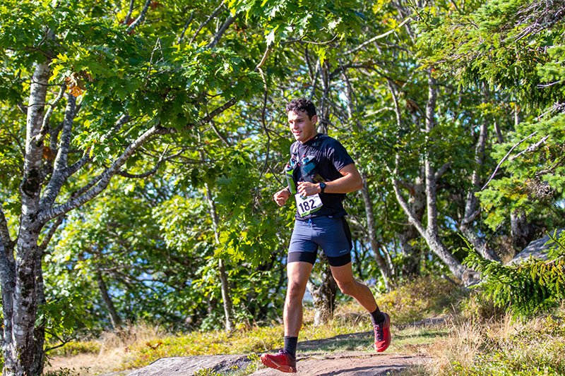
Photos by Joe Viger. Last 3 by Jo Mackey